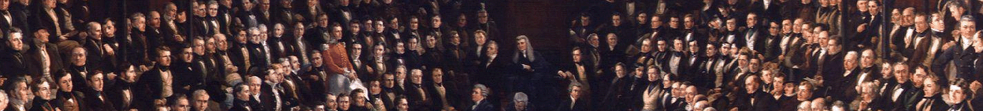
In this week’s blog, Dr Martin Spychal, Senior Research Fellow on the Commons 1832-1868 project, discusses his new book Mapping the State: English Boundaries and the 1832 Reform Act. The book is part of the Royal Historical Society’s New Historical Perspectives series and has been published by the University of London press. It is available now to download free in open access, or to purchase in paperback and hardback.
In October 1831 Benjamin Ansley, a retired army officer, and Henry Gawler, a barrister, arrived in the Dorset constituency of Shaftesbury. They had been working for the previous month as boundary commissioners in the south of England, as part of the controversial plans for electoral reform proposed by Earl Grey’s Whig government.
Ansley and Gawler’s first job in Shaftesbury was to perambulate the constituency’s boundaries, walking (and riding) around the area with their assistant surveyor and three of the town’s parish overseers. These boundaries were recorded on a new town plan of the constituency, which their surveyor had been developing with mapmakers at the boundary commission’s headquarters in Downing Street since September.
The commissioners then met with Shaftesbury’s parish overseers, the town clerk, the commissioner of taxes and a local solicitor to obtain valuations for every property in the constituency, before completing a demographic, economic and social survey of the town. Over the following three months the boundary commission returned to Shaftesbury to conduct additional meetings and perambulations with a similar cast of local officials in ten of the parishes that surrounded the constituency’s long-established parliamentary boundaries.

This unprecedented process of surveying, mapping and information sharing between Westminster and the constituencies was replicated nationwide during the autumn and winter of 1831-32, and culminated in the 1832 Boundary Act.
The legislation, alongside its more famous sibling, the 1832 Reform Act, transformed England’s electoral map. It altered the boundaries of 210 of the 257 reformed English constituencies, created 56 newly divided counties and increased the combined area of England’s system of parliamentary boroughs from 1,317 to 2,809 square miles. Shaftesbury’s geographic and electoral identity, in particular, was transformed by the legislation, which expanded the constituency’s area from 0.3 to 37 square miles.
Mapping the State is the first book to explore why and how this reconstruction of England’s electoral map took place in 1832, the central role played by the 1831-2 boundary commission in ensuring the passage of the ‘Great Reform Act’, and the wide-reaching political, electoral and governmental legacy of the commission’s work.
While previous histories of the 1832 reform legislation have focused on who got the vote, Mapping the State instead focuses on where people got it. Drawing on the previously unstudied archive of the boundary commission, it combines qualitative analysis with several digital methods, such as text mining, roll-call analysis and GIS analysis. Aided by the extensive digitisation of records over the past two decades, Mapping the State also reappraises the traditional historical sources associated with 1832, to offer a new interpretation of a landmark moment in the development of modern British politics.

Mapping the State: English Boundaries and the 1832 Reform Act is available now to download free in open access, or to purchase in paperback and hardback
The book is divided into two parts. Part 1 explores how politicians, reformers and bureaucrats envisaged a reformed electoral map in the early nineteenth century. It emphasises the need to understand the reform legislation of 1832 in the long-term context of debates over the representation of interests at Westminster since the eighteenth century, and a burgeoning culture of scientists, geographers, statisticians and political economists who wanted to create a science of government during the 1820s.
Parliamentary boundaries, which have been largely ignored by existing histories of 1832, emerge as a major issue in the development of the reform legislation, the national debate over its potential consequences and the parliamentary struggle to secure reform.

Importantly, a new figure emerges as central to the narrative of 1832, a previously obscure royal engineer and scientist, Thomas Drummond. His tireless endeavours as chair of the boundary commission, and development of a novel ‘scientific’ method for gathering data and defining boundaries in a uniform, disinterested manner, proved pivotal to the passage of the 1832 reform legislation.
Drummond’s oversight of the commission (and its 117 members of staff) led to an unparalleled consultation between all levels of the British state (from the Shaftesbury churchwarden to the civil servant and government minister at Whitehall), and established a pioneering bureaucratic model that paved the way for the better-known commissions and legislative investigations of the 1830s and 1840s (such as those that investigated factories, the poor law and public health).
The second part of Mapping the State examines how the boundary commission reconstructed England’s electoral map during 1831 and 1832, and the resulting political and electoral consequences. The commission was characterised by its remarkable commitment to the application of Drummond’s ‘scientific’ method, which was only compromised by the political reality of securing parliamentary approval for the 1832 Boundary Act, and some occasional instances of naked gerrymandering by the Whig government.

John Bull being ‘poisoned by reform’, specifically the division of counties. William IV is holding the chair and Lord John Russell is administering the poison. Thomas McLean, ‘Doctoring’, The Looking Glass (2 February 1835)
My analysis of the reformed English electoral map extends to 1868, when the electoral system was again reformed. It draws on a wealth of existing and new local constituency studies (many of which are in preparation for the History of Parliament’s forthcoming House of Commons 1832-1868 volumes), as well as several newly developed datasets of electoral statistics, party labels and voting records of MPs at Westminster. It explores how parliamentary boundaries interacted with new voting rights and registration systems, emerging forms of party organisation, elite and non-elite influence, and a participatory (and often corrupt) electoral culture in the reformed electoral system.
Ultimately, the 1832 Boundary Act reaffirmed the centrality of community to electoral politics, shaping the political identities and electoral strongholds of the emerging Conservative and Liberal parties, and establishing major precedents for electoral reform that are still in use today.
M.S.